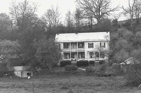
The Maryland Historical Trust was established in 1961. The state agency is dedicated to preserving the legacy of Maryland’s past to help us understand our historical and cultural heritage. A site goes through a varied investigative process to understand, recognize and develop a record of its past and present appearance, history, and significance.
These are the Myersville-Wolfsville area sites currently listed on the Maryland Historical Trust Inventory of Historic Properties:
Ellerton/Harmony
Benjamin Shuff Farmstead, circa 1865, 4349 Middlepoint Road
Ellerton Survey District, circa 1865-1900, rural village with a general store, creamery, blacksmith shop and steam engine
Enos Doub Farmstead, circa 1840, 9202 Myersville Road
Grossnickle, Peter of P. Farmstead, circa 1840, 11720 Wolfsville Road
Grossnickle Church of the Brethren, 1889, 11301 Meeting House Rd
Grossnickle Farmstead (Oakland Mills), 9120 Harmony Road
Harmony Survey District (Beallsville), circa 1890, consists of 25 acres including a woolen factory
Harshman-Frushour Farmstead (H & F Trolley Shelter), 111423 Meeting House Road
Highland School, 10539 Highland School Road
Jacob Leatherman Farmstead, circa 1850, 12348 Wolfsville Road
Jacob Zentmyer Farmstead, circa 1830, 112031 Pleasant Walk Road
John Grossnickle House, 11353 Highland School Road
Josephus Palmer Farmstead, circa 1860, 11317 Church Hill Road
Koogle Farmstead, circa 1820,10513 Grindstone Road
Schlosser-Waters Farmstead, circa 1830, 9232 Harmony Road
Myersville/Church Hill/Pleasant Walk
Christian Moser House and Barn (above), circa 1830, 1914 Monument Road
Church Hill Survey District, circa 1830-1915, district includes the church, the Old School, and several homes that exemplify the development of rural communities.
Daniel Palmer Homestead, circa 1820, 3813 Crow Rock Road
David Stottlemyer Farmstead, circa 1810, 12719 Stottlemyer Road
Doub-Routzhan Farmstead, circa 1840, 10412 Church Hill Road
Easterday-Summers Farmstead, circa 1863, 10916 Church Hill Road
Mount Olive United Brethren Church (now Pleasant Walk United Methodist), 11240 Pleasant Walk Road, Myersville
Myersville Survey District, Myersville, Main Street properties.
Ostertag Farm, circa 1800, 111847 Easterday Road
Pleasant Hill, circa 1841, Myersville Road
Ramsburg-Gaver Farmstead (Shelter Rock Farm), 4234 Crow Rock Road
Recher-Morgan Farmstead, 12707 Brandenburg Hollow Road
Rout-Smith Farmstead (The Seven Partners), circa 1810, 11025 Pleasant Walk Road
Shank-Ridgley House, circa 1920, 2448 Canada Hill Road
Smith-Bowlus Farmstead, circa 1862, 2812A Monument Road
Stottlemyer-Harshman Farmstead, circa 1850, 11192 Wolfsville Road
William Green Farmstead, circa 1800, 11134 Rum Spring Road
Grossnickle Tenant Farm, 9120 Harmony Road
Edgar M. Frushour Homestead, 11912 Wolfsville Road
Kuhn Log House, 14022 Wolfsville Road
Echo Lake Stone House, Camp Echo Lake Road
Pleasant Hill, Myersville
Wolfsville
Wolf Sears Catalog House, 3530 Garfield Road
Jacob Leatherman Farmstead, 12348 Wolfsville Road
David Stottlemyer Farmstead, 12719 Stottlemyer Road

 RSS Feed